
Land use change detection
We track land cover change over time: deforestation, urban sprawl, farming practices, using Sentinel satellite imagery and geospatial AI.
Before / after: the changes detected on the delta
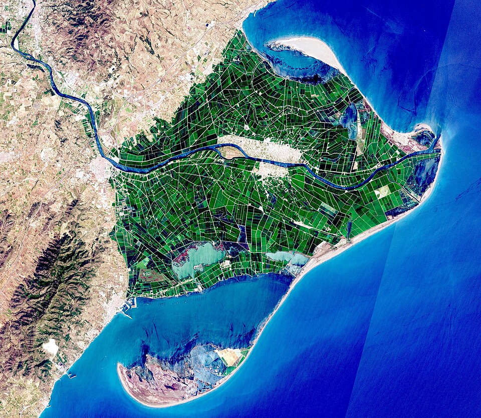
Drag the slider. The 34 red polygons are the footprints detected by the model on the delta.
What is land use change detection?
Land use / land cover change detection identifies and quantifies, over time, how a territory's land cover evolves: forest converted to farmland, artificialization of a natural plot, urban expansion, changing farming practices, ecological restoration, deforestation or reforestation.
This approach has historically relied on remote sensing: analyzing satellite images acquired at different dates makes it possible to compare a territory's state over time and precisely locate areas of change. With the Sentinel-1 and Sentinel-2 satellite constellations from the European Copernicus programme now widely available, regular, high-resolution (10 m) observations are available worldwide, free of charge.
Land use change is in fact recognized as one of the nine planetary boundaries defined by the work of Rockström and Steffen. This boundary is notably measured by the share of the world's forest cover still standing relative to its pre-industrial extent: the safe threshold has been set at 75%, while only 62% of once-forested land remains forested today: a threshold already exceeded, according to France's Ministry for Ecological Transition (notre-environnement.gouv.fr).
In France, the situation runs counter to the global trend: farmland is shrinking rather than expanding, giving way to artificialization. Between 2012 and 2018, metropolitan France lost close to 35,800 hectares of farmland, with 71% of the recorded change of use on that land favouring artificialized areas (source: notre-environnement.gouv.fr, CORINE Land Cover data). Conversely, French forest cover is growing, driven in part by farmland abandonment.
Monitoring land use has become a central issue for several reasons:
Symbiome's approach
Symbiome draws on satellite imagery and geospatial artificial intelligence to turn raw observation into actionable decision-making information. Our approach combines advanced processing of satellite image time series, machine learning methods for land cover classification, and methodological rigor in the statistical validation of results, notably through internationally recognized sampling-based validation protocols that quantify the accuracy of the resulting maps and the associated uncertainty.
All results are integrated into a geographic information system (GIS) and delivered through tools such as QGIS: land cover maps, change maps, time series, per-class surface indicators, and exports compatible with the standards used by consultancies, local authorities and public agencies. These results can also be delivered as analytics dashboards, enabling a visual, up-to-date view of key indicators and making them easier for non-technical teams to use.
Services offered:
- Land cover mapping through remote sensing (Sentinel-1, Sentinel-2, Copernicus)
- Multi-temporal change detection and per-class surface quantification
- Imported deforestation monitoring and support for compliance with the EU Deforestation Regulation (EUDR)
- Farming practice monitoring: crop rotations, fallow land, intensification
- Reforestation monitoring and indicators for carbon offset or ecological restoration projects
- Statistical validation by sampling and GIS integration (QGIS), monitoring dashboards
Concrete application scenarios
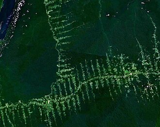
According to WWF, France's footprint linked to agricultural and forestry imports represented 14.8 million hectares in 2016, of which 5.1 million were in countries at high risk of deforestation. EU regulation now requires importers to demonstrate that their supply chain is deforestation-free: a demanding geospatial monitoring challenge in cloud-heavy tropical contexts, for which Symbiome develops robust, reproducible methodologies.
Multi-temporal monitoring of farm plots identifies crop rotations, changes in practices (fallowing, conversion to grassland, intensification) or the evolution of cultivated areas across a territory: information useful to both public agricultural policy and farm and supply-chain management.
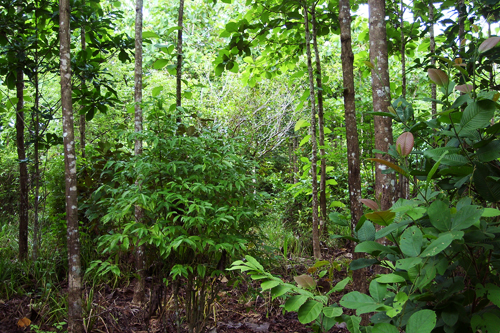
Change detection precisely locates clearing sites, tracks vegetation regrowth dynamics on reforestation sites, and produces reliable surface indicators for carbon offset, ecological restoration or regulatory monitoring projects.
Why work with Symbiome?
Symbiome combines scientific expertise in geomatics and machine learning with operational knowledge of environmental issues: biodiversity, forestry, agriculture, land-use planning. This dual expertise produces analyses that are both technically robust and directly usable by public and private decision-makers.