
contact@symbiome.eu +33 7 66 28 91 77

Our Work

Discover projects delivered by Symbiome to transform environmental data into sustainable solutions.

TrackBats - suivi acoustique chauves-souris
Artificial Intelligence 2025

TrackBats

A revolutionary tool for automatic detection and counting of bats using artificial intelligence, transforming hours of manual work into instant analysis.

  • Improving data reliability – Our AI is trained to handle different lighting conditions, bat species, roost types and provides accurate counts in minutes.
  • Supporting conservation efforts – Better data means better protection for bat populations.
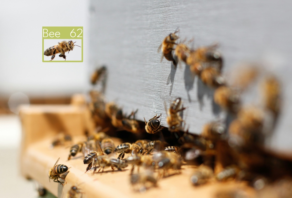
Bee Run Apiculture - cartographie disponibilité alimentaire La Réunion
Geospatial Development & Analysis 2026

The bee as an environmental sentinel.

Interactive mapping application of bee food availability across Réunion island, combining connected hive data, land cover, urbanisation and open source weather data.

  • Multi-source data integration: hive sensors, open geospatial & cartographic data.
  • Monitorun interactive map of food availability across the island
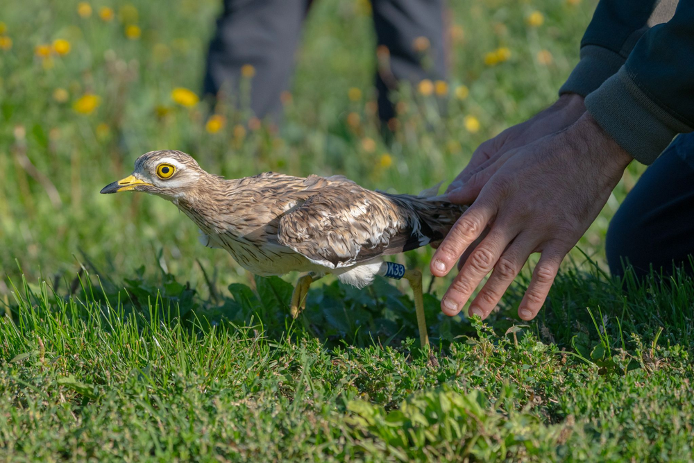
Migration des oedicnèmes criards
Geospatial Analysis 2025

Analysis of Bird Migrations

Analysis of migration trajectories of hundreds of migratory birds using over 40 million GPS points to understand their movements between France and North Africa.

  • Which stopover areas do they rest in?
  • How long do they stay there?
  • What migration corridors are used?
  • How do their trajectories vary based on weather conditions?
Data Structuring / Forestry 2024-2025

Coeur de Forêt mission: structuring forest data and business interfaces

A 2024-2025 project delivered for the Coeur de Forêt association to move forest plot management from spreadsheets to a PostgreSQL/PostGIS database and design dedicated business interfaces.

  • Transition from tabular management to PostgreSQL/PostGIS
  • Business interface design for plot monitoring
Training / Image Analysis 2025

ISA Lille student training in image analysis

Training ISA Lille students in the basics of image analysis applied to ecology, with hands-on practice of annotation, learning and results interpretation workflows.

  • ISA Lille students discovering how image analysis can be applied to life science use cases.
  • Data preparation, annotation, result reading, model evaluation and implementation best practices.
Training / Geospatial Analysis 2025-2026

Training the BCA of Annecy in geospatial image analysis

A 2025-2026 training project delivered for the BCA of Annecy (French Army) to teach the basics of geospatial image analysis for operational use cases.

  • Introduction to geospatial image analysis methods
  • Support for teams on concrete use cases
Health / Machine Learning 2025

Health data analysis on the Ebola outbreak in Africa

Mission delivered in 2025 for Epigreen to analyze health data related to the Ebola outbreak in Africa using machine learning methods, to improve identification of epidemic dynamics and monitoring of critical indicators.

  • Machine learning model development on epidemiological datasets
  • Visualization and interpretation of spread indicators for decision support